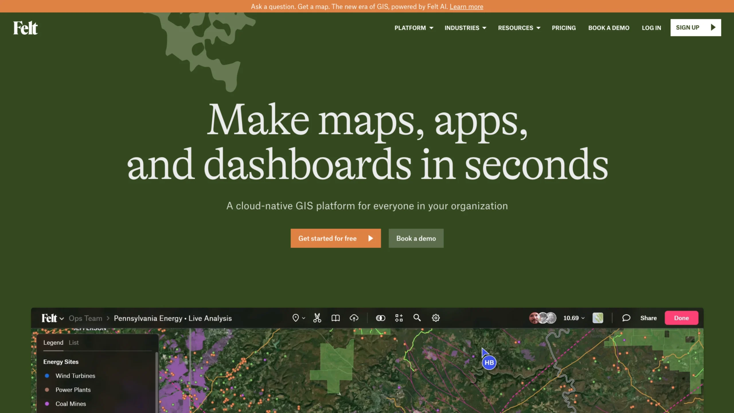
Felt is a modern, cloud-native Geographic Information System (GIS) and online mapping platform that allows individuals and teams to create, collaborate on, and share rich interactive maps, dashboards, and spatial apps.
It supports drag-and-drop file uploads, direct cloud database integrations (like Postgres, Snowflake, and BigQuery), and AI-powered map generation.