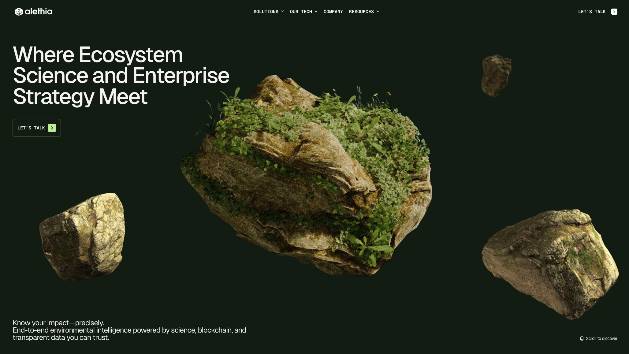
alethia.earth is the digital hub for Alethia, an advanced environmental intelligence and measurement platform built by the Montevideo, Uruguay-based agency ++hellohello.
Designed to replace standard corporate emissions “projections” and estimated math models with real-world, auditable data, the platform introduces a true end-to-end measurement layer for global carbon markets, supply chain insetting, and biodiversity monitoring.
The platform relies on rigorous ecosystem science, using physical sensor towers and Eddy Covariance systems to continuously measure greenhouse gas (GHG) exchange across soil, agriculture, and the atmosphere.
By recording this empirical field data onto a tamper-proof blockchain ledger, Alethia transforms volatile climate telemetry into highly defensible, audit-ready carbon insights.
The accompanying award-winning website reflects this technical precision—avoiding generic “green lifestyle” tropes to deliver an immersive, premium dark-mode dashboard lined with bioluminescent data points, fluid ambient background movements mimicking atmospheric wind currents, and strict typographic grids.
Key Features
- Sensor-Based Field Verification: Captures real-time, continuous ecosystem data via specialized sensor towers, moving completely away from inaccurate, seasonal estimation formulas.
- World Meteorological Organization Standards: Grounded firmly in peer-reviewed atmospheric methods backed by major international scientific councils and climate authorities.
- Blockchain-Secured Infrastructure: Uses decentralized ledger technology to verify that all gathered data remains entirely tamper-proof, transparent, and compliant with global compliance standards.
- Continuous Ecosystem Analysis: Tracks real-time carbon data points natively scaled across explicit geographic zones, from commercial forestry programs to agricultural fields.
- Elite “Digital Earth” UI Presentation: Features a highly optimized, dark-themed visual architecture with monospaced data tags and subtle scroll-triggered layout transitions built to represent scientific accountability.